アーヴィング山
アーヴィング山(Mount Irving)は、サウス・シェトランド諸島のクラレンス島南部にある独立峰で、標高は約2300mである[1][3]。1820年代から、この地域のアザラシ猟師達に知られていたことは間違いない。英国南極地名委員会がイギリス海軍少将で水路測量技師のエドムンド・ジョージ・アーヴィングにちなんで命名した。
| アーヴィング山 Mount Irving | |
|---|---|
.jpg.webp) | |
| 最高地点 | |
| 標高 | 2,300 m (7,500 ft) [1][2] |
| プロミネンス | 2,300 m (7,500 ft) [1] |
| 座標 | 南緯61度15分49.5秒 西経54度08分31秒 [3] |
| 地形 | |
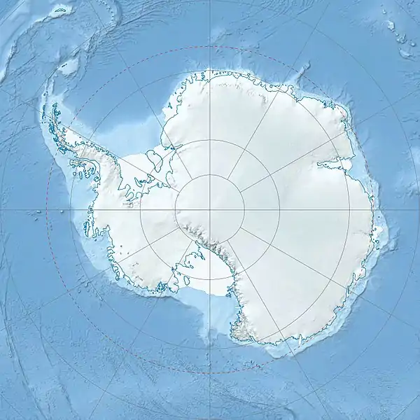  アーヴィング山 Mount Irving アーヴィング山の位置 | |
| 所在地 | クラレンス島, 南極 |
 プロジェクト 山 プロジェクト 山 | |
出典
- "Antarctica Ultra-Pominences" Peaklist.org. Retrieved 2011-12-09.
- "Mount Irving, Antarctica" on Peakbagger.com. Retrieved 2011-12-09.
- Mount Irving. SCAR Composite Antarctic Gazetteer.
 この記事にはパブリックドメインである、アメリカ地質調査所が作成した次の文書本文を含む。"アーヴィング山". Geographic Names Information System. United States Geological Survey.
This article is issued from Wikipedia. The text is licensed under Creative Commons - Attribution - Sharealike. Additional terms may apply for the media files.