ウナルガ島

地理
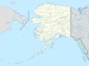
ウナラスカ島の北東、アクタン島とはアクタン水道を挟んで北東に位置する無人島である。 アリューシャンズイースト郡 (アラスカ州)最西端の島でもある。面積は28.5㎢、長さ6.7km、幅8.2km。
参考文献
- Unalga Island: Block 1054, Census Tract 1, Aleutians East Borough, Alaska United States Census Bureau
- “Feature Detail Report for: Unalga Island”. アメリカ地質調査所. 2013年11月9日閲覧。
- Bergsland, K. (1994). Aleut Dictionary. Fairbanks: Alaska Native Language Center
This article is issued from Wikipedia. The text is licensed under Creative Commons - Attribution - Sharealike. Additional terms may apply for the media files.