カルマフォールズ
カルマフォールズは、ウガンダにある町。
カルマフォールズ | |
|---|---|
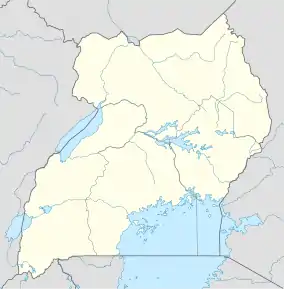  カルマフォールズ ウガンダでの位置 | |
| 座標:北緯02度14分03秒 東経32度14分47秒 | |
| 国 | ウガンダ |
| 地域 | 西部地域 |
| 県 | キリャンドンゴ県 |
| 標高 | 1,000 m |
| 等時帯 | UTC+3 (東アフリカ時間) |
位置
本地はカンパラ - グル・ハイウェイがナイル川を渡る場所のすぐ南、マシンディから車で北東に約97キロメートル[1]、北ウガンダ最大の都市グルから車で南に約77キロメートル[2]離れている。座標は2°14'3.00"N,32°14'47.00"E(2.234167,32.246390)[3]、平均標高は約1000メートル[4]。ここには、出力600メガワットとウガンダ最大の水力発電所となるカルマ水力発電所の建設が計画されている[5]。
計画
2013年3月、ウガンダの新聞は、政府が近代的大都市を現代的にすることを計画しており、その一環としてここに建設中のカルマ水力発電所が開所すると報じた[6]。
脚注
- GFC (2016年1月7日). “Distance between Masindi, Western Region, Uganda and Karuma Falls, Kiryandongo, Western Region, Uganda”. Globefeed.com. 2016年1月7日閲覧。
- GFC (2016年1月7日). “Distance between Gulu, Northern Region, Uganda and Karuma Falls, Kiryandongo, Western Region, Uganda”. Globefeed.com. 2016年1月7日閲覧。
- Google Maps – Location of Karuma Falls At Google Maps (Map). Cartography by Google, Inc. Google, Inc. 2015年7月3日閲覧。
- GAM (2016年1月7日). “Elevation of Karuma Falls, Uganda”. Getamap.net (GAM). 2016年1月7日閲覧。
- Vision Reporter (2011年12月1日). “Rural Areas Say Bye To Darkness: UETCL 10th Anniversary Supplement”. 2015年7月3日閲覧。
- Tabu Butagira, and Abdu Kiyaga (2013年3月31日). “Government Plans To Build New City At Karuma”. 2021年6月6日閲覧。
This article is issued from Wikipedia. The text is licensed under Creative Commons - Attribution - Sharealike. Additional terms may apply for the media files.