ガーエン
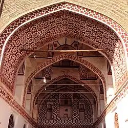
ガーエン(ペルシア語: قائن)は、イランの南ホラーサーン州にある都市で、ガーエン郡の郡都。
ガーエン | |
|---|---|
|
市 | |
 | |
  ガーエン | |
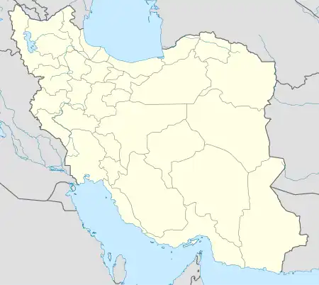
| 座標:北緯33度44分00秒 東経59度10分52秒[1] | |
| 国 | イラン |
| 州 | 南ホラーサーン州 |
| 郡 | ガーエン郡 |
| 地区 | 中央地区 |
| 人口 (2016年)[2] | |
| • 合計 | 42,323人 |
| 等時帯 | UTC+3:30 (イラン標準時 (IRST)) |
人口は、2006年国勢調査では3万2474人(8492世帯)[3][4]、2011年国勢調査では4万226人(1万473世帯)[5]、2016年国勢調査では4万2323人(1万1920世帯)であった[2]。
歴史
中世ペルシャの古文書「イラン諸州の都」のなかに言及がみられ、それによると1588年にシネード・ニノー・キトプが建都した[6]。
脚注
- OpenStreetMap contributors (21 March 2023). "Qaen, Qaen County" (Map). OpenStreetMap. 2023年3月21日閲覧。
- “Census of the Islamic Republic of Iran, 1395 (2016)” (Excel) (ペルシア語). AMAR. The Statistical Center of Iran. p. 29. 2020年10月17日時点のオリジナルよりアーカイブ。2022年12月19日閲覧。
- “Census of the Islamic Republic of Iran, 1385 (2006)” (Excel) (ペルシア語). AMAR. The Statistical Center of Iran. p. 29. 2011年9月20日時点のオリジナルよりアーカイブ。2022年9月25日閲覧。
- “Where is Qaen City? Everything You Must Know 2021” (2021年9月16日). 2021年9月16日時点のオリジナルよりアーカイブ。2021年9月16日閲覧。
- “Census of the Islamic Republic of Iran, 1390 (2011)” (Excel) (ペルシア語). Iran Data Portal. The Statistical Center of Iran. p. 29. 2022年12月19日閲覧。
- Daryaee, Touraj (2002), Ziai, Hossein, ed., “Šahrestānīhā Ī Ērānšahr”, Bibliotheca Iranica, Intellectual Traditions Series, No. 7, ISBN 1-56859-143-8 2023年2月12日閲覧。
This article is issued from Wikipedia. The text is licensed under Creative Commons - Attribution - Sharealike. Additional terms may apply for the media files.