キラ (ウガンダ)
キラ(英語:Kira Town)はウガンダの中央地域中央部のワキソ県の都市。人口は約46万人(2020年)。
キラ Kira | |
|---|---|
|
都市 | |
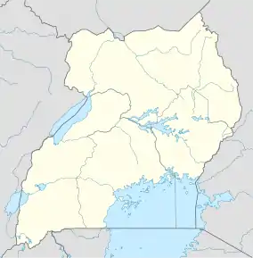  キラ キラの位置 | |
| 国 |
 ウガンダ ウガンダ |
| 地域 | 中央地域 |
| 県 | ワキソ県 |
| 政府 | |
| • 市長 | Julius Mutebi[1] |
| • 国会議員 | Ibrahim Ssemujju Nganda[2] |
| 面積 | |
| • 合計 | 98.83 km2 |
| 標高 | 1,190 m |
| 人口 (2020年)統計[3] | |
| • 合計 | 462,900人 |
経済
- ボダ・ボダ:自転車タクシー[9]
日中はカンパラで働き、夜キラに帰宅する人口が増加している。 ウガンダ投資機関が約1.8億円を投資した894haのカンパラ産業商業団地が南東部に位置する[10]。
観光地
- ウガンダ殉教聖堂(ナムゴンゴ)
- カバカ宮殿(キレカ)
- マンデラ国際競技場 - 4万5202人収容可能
施設・設備
- カンパラ北部高速道路
- ウメメ変電所
- カンパラ大陸間ホテル
- 聖アウグスティヌス国際大学
- ウガンダ高等教育国民委員会
脚注
- Semakula, John (2016年4月15日). “New Kira leaders to register unemployed youth”. 2016年4月15日閲覧。
- Kiggundu, Edris (2012年10月19日). “MP Ssemujju Nganda Violently Arrested”. The Observer (Uganda). 2014年4月18日閲覧。
- “City Population”. 2023年4月16日閲覧。
- GFC (2016年4月25日). “Distance between Kampala Road, Kampala, Central Region, Uganda and Kira Town, Central Region, Uganda”. Globefeed.com (GFC). 2016年4月25日閲覧。
- Google Maps – Location of Kira Town (Map). Cartography by Google, Inc. Google, Inc. 2016年4月25日閲覧。
- “Estimated Population of Kira Town In 2002, 2010 & 2011”. Uganda Bureau of Statistics. 2014年4月18日閲覧。
- Okwera, Oyet (2010年8月6日). “The Rise And Rise of Kyaliwajjala (Town Planner Estimates Population of Kira Town At 300,000 In 2012”. New Vision. 2014年4月18日閲覧。
- UBOS (2014年8月27日). “The Population of The Regions of the Republic of Uganda And All Cities And Towns of More Than 15,000 Inhabitants”. Citypopulation.de Quoting Uganda Bureau of Statistics (UBOS). 2015年2月21日閲覧。
- Ssemujju, Ibrahim Nganda (2015年4月22日). “How To Stop Boda Bodas From Finishing Our Youths”. 2015年6月5日閲覧。
- Kagolo, Francis (2013年2月13日). “UIA needs sh470b to expedite Namanve Industrial Park”. 2014年4月14日閲覧。
外部リンク
This article is issued from Wikipedia. The text is licensed under Creative Commons - Attribution - Sharealike. Additional terms may apply for the media files.