ギール
ギール(ペルシア語: قير, Qir/Gheer/Qīr)[2]とは、イランの都市で、ファールス州ギール・カルズィーン郡の郡中心市である。2006年の国勢調査では人口16,839人、3,722世帯。[3]標高は771mである。[4]
ギール قير | |
|---|---|
|
市(シャフル) | |
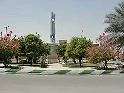 Shohada広場 | |
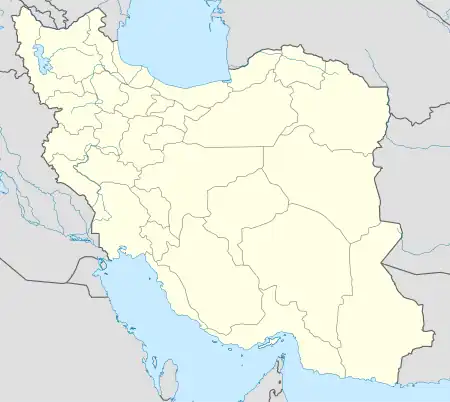  ギール | |
| 座標:北緯28度28分57秒 東経53度02分05秒 | |
| 国 |
 イラン イラン |
| 州 | ファールス州 |
| 郡 | ギール・カルズィーン郡 |
| 地区 | 中央地区 |
| 標高 | 771 m |
| 人口 (2016年) | |
| • 合計 | 20,010 [1]人 |
| 等時帯 | UTC+3:30 (IRST) |
| • 夏時間 | UTC+4:30 (IRDT) |
1972年4月10日にギールは大地震によって被害を受け、当時の人口の3分の2に相当する3,399人が死亡した。
脚注
- “Statistical Center of Iran > Home”. Template:Cite webの呼び出しエラー:引数 accessdate は必須です。
- ギールはGEOnet Names Serverのこのリンクで見つけることができる。特別な検索ボックスを開け、「Unique Feature Id」で「-3080296」を入力し、「Search Database」をクリックする。
- "Census of the Islamic Republic of Iran, 1385 (2006)". Islamic Republic of Iran. 2011年11月11日時点のオリジナル (Excel)よりアーカイブ。
{{cite web}}: Cite webテンプレートでは|access-date=引数が必須です。 (説明) - Location of Qir - Falling Rain Genomics
This article is issued from Wikipedia. The text is licensed under Creative Commons - Attribution - Sharealike. Additional terms may apply for the media files.