グラヴェドーナ
グラヴェドーナ(イタリア語: Gravedona)は、イタリア共和国ロンバルディア州コモ県グラヴェドーナ・エドゥニーティに属する分離集落(フラツィオーネ)。
| グラヴェドーナ Gravedona | ||
|---|---|---|
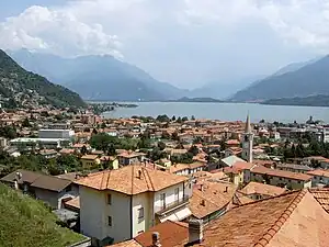 コモ湖畔のグラヴェドーナ | ||
| 行政 | ||
| 国: |
 イタリア イタリア | |
| 州: |
 ロンバルディア ロンバルディア | |
| 県: |
 コモ コモ | |
| コムーネ: |
| |
| 市外局番: | 0344 | |
| CAP(郵便番号): | 22015 | |
| 人口 | ||
| 人口: | 2,779人[1] (2011-01-01) | |
| 人口密度: | 446.07人/km2 | |
| 文化 | ||
| 住人の呼称: | gravedonesi | |
| 守護聖人: | San Vincenzo | |
| 祝祭日: | ||
| 地理 | ||
| 座標: | 北緯46度9分0秒 東経9度18分0秒 | |
| 標高: | 海抜 201 (199 - 780) [2] m | |
| 面積: | 6.23 km2[3] | |
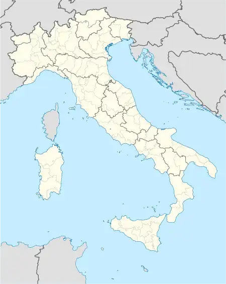  グラヴェドーナの位置 | ||
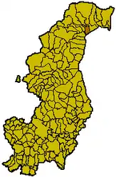 コモ県における旧コムーネの領域 | ||
 ポータル イタリア ポータル イタリア | ||
かつては独立したコムーネであったが、2011年にコンシーリオ・ディ・ルーモ、ジェルマージノと合併して新自治体の一部となった。
地理
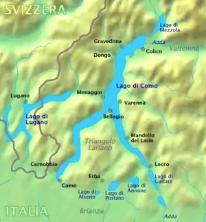
脚注
- 国立統計研究所(ISTAT). “Total Resident Population on 1st January 2011 by sex and marital status” (英語). 2018年5月13日閲覧。
- 国立統計研究所(ISTAT). “Tavola: Popolazione residente - Como (dettaglio loc. abitate) - Censimento 2001.” (イタリア語). 2017年1月6日閲覧。
- 国立統計研究所(ISTAT). “Tavola: Superficie territoriale (Kmq) - Como (dettaglio comunale) - Censimento 2001.” (イタリア語). 2018年5月13日閲覧。
- “地図上で2地点の方角・方位、距離を調べる”. 2016年12月26日閲覧。"comune di Como"で検索。
外部リンク
This article is issued from Wikipedia. The text is licensed under Creative Commons - Attribution - Sharealike. Additional terms may apply for the media files.