ポクスンド湖
ポクスンド湖(ポクスンドこ、ネパール語: फोक्सुण्डो ताल, ラテン文字転写: Phoksuṇḍo tāl、英語: Phoksundo Lake)は、ネパール・ドルパ郡の海抜3612メートルの高さに位置する淡水の貧栄養湖である。シェイ・ポクスンド国立公園の中に位置する。ポクスンド湖の水面積は4.9平方キロメートル(日本の手賀沼よりもやや大きい)で、水量は0.41立方キロメートル(日本の倶多楽湖よりもやや小さい)である[2]。また、2004年に水文気象学部(Department of Hydrology and Meteorology)が行った調査によれば、湖の最大水深は145メートルを記録した[3]。
| ポクスンド湖 | |
|---|---|
 | |
| 位置 | ドルパ郡 |
| 座標 | 北緯29度12分30秒 東経82度57分30秒 |
| 国 | ネパール |
| 延長 | 5.15 km (3.20 mi) |
| 最大幅 | 800 m (2,600 ft) |
| 面積 | 494 ha (1.91 sq mi) |
| 最大水深 | 145 m (476 ft) |
| 水量 | 409×106 m3 (14.4×10⁹ cu ft) |
| 水面標高 | 3,612 m (11,850 ft) |
| 登録日 | 2007年9月23日 |
| 登録コード | 1694[1] |
湖の周辺には高山草原と湿原があり、ユキヒョウ、ヤマジャコウジカ、オオカミなどが生息している。2007年9月、ポクスンド湖はラムサール条約の登録湿地に指定された[4][1]。
ポクスンド湖は3万年から4万年前に発生した地すべりによって形成された堰止湖であるが、湖の南端にあるリンモ村はこの地すべりの上にある[5]。湖の下流には、落差167メートルのポクスンド滝がある。
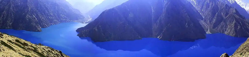
ポスクンド湖のパノラマ写真
ギャラリー
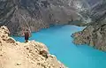 ポクスンド湖とドルパへの道
- キャンプ地からポクスンド湖を見渡す
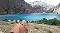 ポクスンド湖とキャンプ
 ポクスンド湖に入るヤク
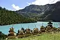 シェイ・ポクスンド国立公園
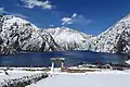 冠雪下
冠雪下
出典
- “Phoksundo Lake”. Ramsar Sites Information Service. 2018年4月25日閲覧。
- Bhuju, U. R., Shakya, P. R., Basnet, T. B., Shrestha, S. (2007). Nepal Biodiversity Resource Book. Protected Areas, Ramsar Sites, and World Heritage Sites. Kathmandu: International Centre for Integrated Mountain Development, Ministry of Environment, Science and Technology, in cooperation with United Nations Environment Programme, Regional Office for Asia and the Pacific. ISBN 978-92-9115-033-5
- Nepalnews.com (2004). Rara is Nepal’s deepest lake: Survey
- Bhandari, B. B. (2009). Wise use of Wetlands in Nepal. Banko Janakari, Special Issue February 2009: 10–17.
- Weidinger, J. T. (2005). Predesign, failure and displacement mechanisms of large rockslides in the Langthang-, Annapurna- and Kanjiroba Himalayas of Nepal. Geophysical Research Abstracts, Vol. 7, 04125, 2005
This article is issued from Wikipedia. The text is licensed under Creative Commons - Attribution - Sharealike. Additional terms may apply for the media files.