マンコスカパカヤック川
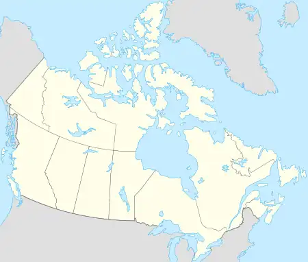
マンコスカパカヤック川(マンコスカパカヤックがわ、Mankoskapakayak River)はカナダの川[1] 。首都オタワから北西に1600kmほどのマニトバ州南東部を流れる。
| マンコスカパカヤック川 | |
| Mankoskapakayak River | |
| 国 | カナダ |
|---|---|
| 地域 | マニトバ州 |
| 等時間 | CST (UTC-6) |
| - 夏時間(DST) | CDT (UTC-5) |
 | |
流域の人口密度は1㎞2あたり331人で、一帯は亜寒帯気候地域に属する[2][3]。付近の年間平均気温は-3℃ほど。最も気温の上がる7月には平均で16℃ほどとなり、最も下がる1月は-25℃を記録する[4]。
出典
- Mankoskapakayak River GeoNames.Org (cc-by); post updated 2006-01-18; 2015-12-29
- “NASA Earth Observations: Population Density”. 2016年1月30日閲覧。
- “Updated world map of the Köppen-Geiger climate classification”. Hydrology and Earth System Sciences. p. 1633-1644 (2007年). doi:10.5194/hess-11-1633-2007. 2016年1月30日閲覧。
- “NASA Earth Observations Data Set Index”. 2016年1月30日閲覧。
This article is issued from Wikipedia. The text is licensed under Creative Commons - Attribution - Sharealike. Additional terms may apply for the media files.