ロモランタン=ラントネー
ロモランタン=ラントネー (Romorantin-Lanthenay)は、フランス、サントル=ヴァル・ド・ロワール地域圏、ロワール=エ=シェール県のコミューン。
| Romorantin-Lanthenay | |
|---|---|
.svg.png.webp) 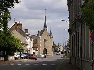 | |
| 行政 | |
| 国 |
.svg.png.webp) フランス フランス |
| 地域圏 (Région) | サントル=ヴァル・ド・ロワール地域圏 |
| 県 (département) | ロワール=エ=シェール県 |
| 郡 (arrondissement) | ロモランタン=ラントネー郡 |
| 小郡 (canton) | 小郡庁所在地 |
| INSEEコード | 41194 |
| 郵便番号 | 41200 |
| 市長(任期) |
ジャンニー・ロルジョー (2008年-2014年) |
| 自治体間連合 (fr) | fr:Communauté de communes du Romorantinais et du Monestois |
| 人口動態 | |
| 人口 |
17,395人 (2008年) |
| 人口密度 | 741.2人/km2 |
| 住民の呼称 | Romorantinais, Romorantinaises[1] |
| 地理 | |
| 座標 | 北緯47度21分32秒 東経1度44分37秒 |
| 標高 |
平均:m 最低:84 m 最高:121 m |
| 面積 | 45.31km2 (4 531ha) |
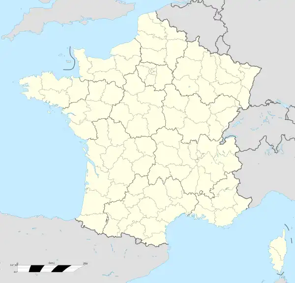  Romorantin-Lanthenay | |
| 公式サイト | www.romorantin.fr |
歴史
1516年、フランソワ1世はレオナルド・ダ・ヴィンチに王宮の設計を委託した。また、それはソーヌ川とロワール川を結ぶ運河の掘削を想定していた。この事業はダ・ヴィンチの死去で頓挫した[2]。
交通
- 道路 - A85
- 鉄道 - TERラ・サントル・レジオンのブラン-カルジャン線。ソローニュ・トラム。
人口統計
| 1962年 | 1968年 | 1975年 | 1982年 | 1990年 | 1999年 | 2006年 |
|---|---|---|---|---|---|---|
| 11 777 | 14 096 | 16 719 | 17 692 | 17 865 | 18 353 | 17 572 |
sources=1962年までCassiniとEHESS[3]1968年以降はInsee(二重カウントなし)[4] · [5]
.svg.png.webp)



脚注
- Gentilés des communes du Loir-et-Cher
- De Sairigné MS, Le projet oublié de Léonard de Vinci, Le Journal de la Sologne, printemps 2010, p 69
- "Des villages de Cassini aux communes d'aujourd'hui". site de l'École des hautes études en sciences sociales. 2010年10月6日閲覧。
- "Évolution et structure de la population (de 1968 à 2007)" (PDF). Insee. 2010年10月6日閲覧。
- "Recensement de la population au 1er janvier 2006". Insee. 2010年10月6日閲覧。
This article is issued from Wikipedia. The text is licensed under Creative Commons - Attribution - Sharealike. Additional terms may apply for the media files.