柴森 (青森県・秋田県)
柴森(しばもり)は、青森県平川市と秋田県鹿角郡小坂町との県境にある標高883mの山である。
| 柴森 | |
|---|---|
| 標高 | 883 m |
| 所在地 |
 日本 青森県平川市・ 日本 青森県平川市・秋田県鹿角郡小坂町 |
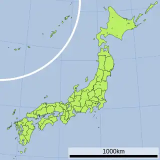
| 位置 | 北緯40度26分17秒 東経140度44分44秒 |
| |
 プロジェクト 山 プロジェクト 山 | |
脚注
- 林道は、国道282号沿線の濁川集落から東方へ数kmのところにある八九郎集落から設置されており、林道を2.7km進むと奥奥八九郎温泉にたどり着く。
関連項目
外部リンク
- 2万5千分1地形図名:碇ヶ関(弘前) 地図閲覧サービス(ウォッちず) - 国土地理院
This article is issued from Wikipedia. The text is licensed under Creative Commons - Attribution - Sharealike. Additional terms may apply for the media files.