牧島 (長崎県)
| 牧島 | |
|---|---|
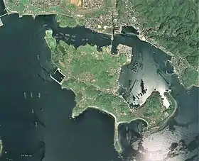 牧島の空中写真。 九州本土と橋で結ばれている。 国土交通省 国土地理院 地図・空中写真閲覧サービスの空中写真を基に作成(2014年5月8日撮影) | |
| 所在地 |
 日本 長崎県長崎市 日本 長崎県長崎市 |
| 座標 | 北緯32度45分06秒 東経129度58分29秒 |
| 面積 | 1.62 km² |
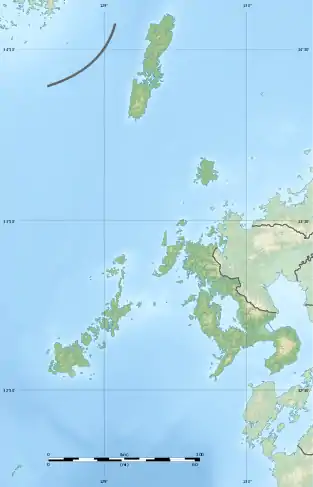  牧島 牧島 (長崎県)  牧島 牧島 (日本) | |
 プロジェクト 地形 プロジェクト 地形 | |
概要
島名は慶安4年(1651)、佐賀藩諫早領の放牧場が開かれたことにちなむ[1]。
This article is issued from Wikipedia. The text is licensed under Creative Commons - Attribution - Sharealike. Additional terms may apply for the media files.