竜王山 (能勢町)
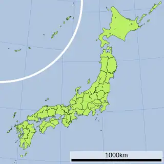
竜王山(りゅうおうざん)は、大阪府豊能郡能勢町の南西部に所在する標高570mの山。北摂山系に属する。
| 竜王山 | |
|---|---|
 画像募集中 | |
| 標高 | 570 m |
| 所在地 |
 日本 日本大阪府豊能郡能勢町下田尻 |
| 位置 | 北緯34度57分36.5秒 東経135度25分16.6秒 |
| 山系 | 北摂山系 |
  | |
 プロジェクト 山 プロジェクト 山 | |
周辺
- 豊能田尻簡易郵便局
- 能勢町立田尻小学校
This article is issued from Wikipedia. The text is licensed under Creative Commons - Attribution - Sharealike. Additional terms may apply for the media files.