マレー (ニューサウスウェールズ州)
マレー地域(マレーちいき、英: Murray Region)は、オーストラリア連邦・ニューサウスウェールズ州南西部の地域である。
| マレー ニューサウスウェールズ州 | |||||||||||||||
|---|---|---|---|---|---|---|---|---|---|---|---|---|---|---|---|
 モニュメントヒルから見たオルベリーの街並み | |||||||||||||||
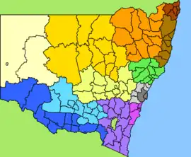 青色地域がマレー地域である。 | |||||||||||||||
| 人口 | 116,117 (2018年国勢調査) | ||||||||||||||
| 地域自治体 | |||||||||||||||
| |||||||||||||||
| 脚注 | Adjoining regions (NSW)[1] | ||||||||||||||
地理
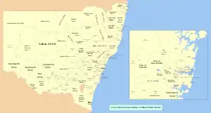
ニューサウスウェールズ州の地方自治体
地方行政区分
マレーは以下の自治体と主なサバーブで構成されています。
- シティ・オブ・オルベリー
- バラナルド・シャイア
- ベリガン・シャイア
- エドワードリバー・カウンシル
- フェデレーション・カウンシル
- グレーター・ヒューム・シャイア
- マレーリバー・カウンシル
- ウェントワース・シャイア
| 地方自治体 | 自治体設立日 | 面積 | 人口 | 地図 | ||||
|---|---|---|---|---|---|---|---|---|
| ミュニシパリティ/シャイア | 市 | Km2 | マイル2 | 順位 | (2018) | 順位 | ||
| シティ・オブ・オルベリー | 1859年6月4日 (ミュニシパリティ)[2] | 1946年[3] | 306 | 118 | 8 | 53,767 | 1 | 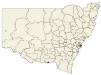 |
| バラナルド・シャイア | 1882年9月27日[4] | 21,691 | 8,375 | 2 | 2,340 | 8 | 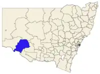 | |
| ベリガン・シャイア | 1906年3月6日 | 2,066 | 798 | 7 | 8,707 | 6 | 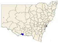 | |
| エドワードリバー・カウンシル | 2016年5月12日[5] | 8,884 | 3,430 | 4 | 8,995 | 5 | 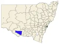 | |
| フェデレーション・カウンシル | 2016年5月12日[6] | 5,685 | 2,195 | 6 | 12,462 | 2 | 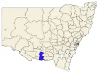 | |
| グレーター・ヒューム・シャイア | 2004年5月26日[7] | 5,750 | 2,220 | 5 | 10,686 | 4 | 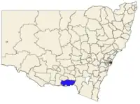 | |
| マレーリバー・カウンシル | 2016年5月12日[8] | 11,864 | 4,581 | 3 | 12,118 | 3 | 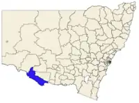 | |
| ウェントワース・シャイア | 1879年1月23日 (ミュニシパリティ)[9] (シャイア) | 26,256 | 10,137 | 1 | 7,042 | 7 | 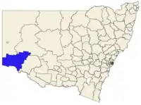 | |
参考文献
- “Map showing the layout of NSW Government regions”. Location NSW Map Viewer. Government of Nwe South Wales. 2019年5月13日閲覧。
- “MUNICIPALITY OF ALBURY.”. New South Wales Government Gazette (Sydney, NSW : 1832 - 1900): pp. 1294. (1859年6月8日) 2019年12月30日閲覧。
- “Albury and District Historical Society”. Research and references. Albury City Council. 2008年7月23日時点のオリジナルよりアーカイブ。2008年7月8日閲覧。
- “Government Gazette Proclamations and Legislation”. New South Wales Government Gazette (Sydney, NSW : 1832 - 1900): pp. 5063. (1882年9月27日) 2019年12月30日閲覧。
- “Edward River Council”. Stronger Councils. Government of New South Wales (2016年5月12日). 2016年5月18日閲覧。
- “Federation Council”. Stronger Councils. Government of New South Wales (2016年5月12日). 2016年5月13日閲覧。
- “Government Gazette of New South Wales”. NSW Legislation (2004年5月26日). 2019年12月30日閲覧。
- “Murray River Council”. Stronger Councils. Government of New South Wales (2016年5月12日). 2016年5月13日閲覧。
- “Wentworth - A Brief History”. Wentworth Shire Council. 2020年2月16日閲覧。
外部リンク
This article is issued from Wikipedia. The text is licensed under Creative Commons - Attribution - Sharealike. Additional terms may apply for the media files.