サンフアン (マニラ首都圏)
サンフアン(San Juan)はフィリピンのメトロ・マニラ内の都市である。フィリピンの都市の中では面積が最小である。2010年時点での人口は121,430人である。[5]
サンフアン市 San Juan | |
|---|---|
| City of San Juan | |
|
愛称: Heart of Metro Manila; Home of Philippine Presidents; Tiangge Capital of the Philippines | |
|
標語: Todo Asenso, San Juan! ("Progress, San Juan!") | |
.svg.png.webp)  サンフアン市 .svg.png.webp) サンフアン市 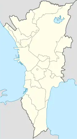 サンフアン市 | |
| 座標:北緯14度36分 東経121度02分 | |
| 国 | フィリピン |
| 地方 | マニラ首都圏 |
| Districts | Lone District of San Juan |
| 自治体発足 | 1623 |
| 都市圏再編 | 17 June 2007 [1] |
| バランガイ | 21 |
| 政府 | |
| • 市長 | Guia Gomez (Partido Magdiwang-UNA) |
| • 副市長 | Francisco Javier M. Zamora (Partido Magdiwang-UNA) |
| • Representative | Ronaldo Zamora (Partido Magdiwang-UNA) |
| • Sangguniang Panlungsod |
Councilors[3]
|
| 面積 | |
| • 合計 | 5.95 km2 |
| 標高 | 17.0 m |
| 人口 (2010年)[5] | |
| • 合計 | 141,430人 |
| • 密度 | 24,000人/km2 |
| 等時帯 | UTC+8 (フィリピン標準時) |
| Zip code |
郵便番号 |
| Area code | +63 (0)02 |
| ウェブサイト |
www |
語源
サンファン(San Juan)はSan Juan del Monteの短縮形であり、これは洗礼者ヨハネにちなんだ名前である。
交通
ジプニーやバスが交通の主体である。マニラ・ライトレール・トランジット・システムのMRT-2線が通っているが、市内の駅はJ.ルイス駅のみである。主要な道路の一つであるen:C-3が市内を通っており、これによりカロオカン、ナヴォタス、ケソン、マンダルーヨン、マカティ、パサイと結ばれている。


脚注
- Date of changing San Juan from a municipality to a city.
- “Cities”. Quezon City, Philippines: Department of the Interior and Local Government. 2012年11月15日閲覧。
- Councilors of San Juan, Metro Manila.
- “List of Cities”. PSGC Interactive. Makati City, Philippines: National Statistical Coordination Board. 2013年3月20日閲覧。
- “Population and Annual Growth Rates for The Philippines and Its Regions, Provinces, and Highly Urbanized Cities”. 2010 Census and Housing Population. National Statistics Office. 2012年11月7日閲覧。
- sunstar.com.ph, Davao, San Juan cities ink sisterhood pact
| 国家首都地方 | |||||||||
| 都市 |
| ||||||||
| 地理 | |||||||||
| 歴史 |
| ||||||||
| 経済 | |||||||||
| 交通 |
| ||||||||
 カテゴリ カテゴリ | |||||||||
This article is issued from Wikipedia. The text is licensed under Creative Commons - Attribution - Sharealike. Additional terms may apply for the media files.