モンタフィーア
モンタフィーア(伊: Montafia)は、イタリア共和国ピエモンテ州アスティ県にある基礎自治体(コムーネ)。
| モンタフィーア Montafia | |||
|---|---|---|---|
| |||
| 行政 | |||
| 国 |
 イタリア イタリア | ||
| 州 |
 ピエモンテ ピエモンテ | ||
| 県/大都市 |
 アスティ アスティ | ||
| CAP(郵便番号) | 14014 | ||
| 市外局番 | 0141 | ||
| ISTATコード | 005073 | ||
| 識別コード | F390 | ||
| 分離集落 | #分離集落参照 | ||
| 隣接コムーネ | #隣接コムーネ参照 | ||
| 気候分類 | zona E, 2706 GG | ||
| 公式サイト | リンク | ||
| 人口 | |||
| 人口 | 934 [1] 人 (2020-01-01) | ||
| 人口密度 | 64.1 人/km2 | ||
| 文化 | |||
| 住民の呼称 | montafiesi | ||
| 守護聖人 | 聖ドニ (san Dionigi) | ||
| 祝祭日 | 10月9日 | ||
| 地理 | |||
| 座標 | 北緯44度59分25秒 東経08度01分33秒 | ||
| 標高 | 267 (177 - 293) [2] m | ||
| 面積 | 14.56 [3] km2 | ||
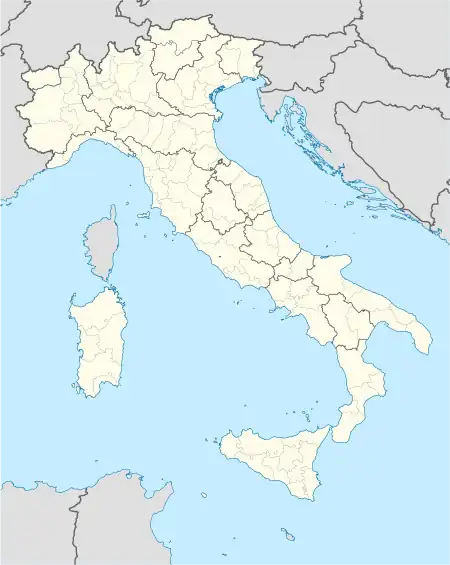  モンタフィーアの位置 | |||
 アスティ県におけるコムーネの領域
| |||
| ポータル イタリア | |||

行政
脚注
- 国立統計研究所(ISTAT). “Total Resident Population on 1st January 2020 by sex and marital status” (英語). 2021年2月13日閲覧。
- 国立統計研究所(ISTAT). “Tavola: Popolazione residente - Asti (dettaglio loc. abitate) - Censimento 2001.” (イタリア語). 2018年1月13日閲覧。
- 国立統計研究所(ISTAT). “Tavola: Superficie territoriale (Kmq) - Asti (dettaglio comunale) - Censimento 2001.” (イタリア語). 2018年1月13日閲覧。
- イタリア市民保護局. “classificazione sismica 1 dicembre 2020” (xls). 2021年2月7日閲覧。
外部リンク
This article is issued from Wikipedia. The text is licensed under Creative Commons - Attribution - Sharealike. Additional terms may apply for the media files.